Jayawijaya Mountains: An Overview
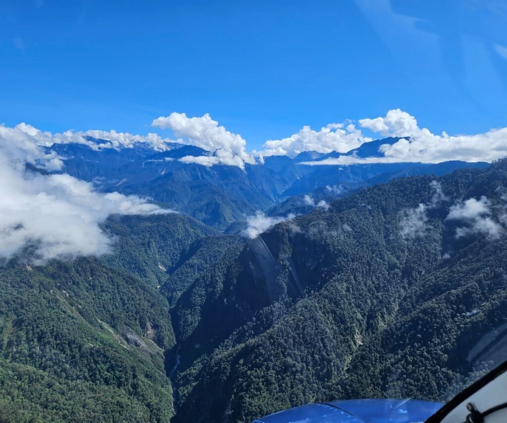
The Jayawijaya Mountains form the backbone of Papua’s central highlands and represent one of the most complex and dramatic mountain systems in Southeast Asia. Stretching across the interior of the island of New Guinea, this range is not a single continuous ridge but a vast network of high peaks, deep valleys, limestone plateaus, and rugged karst formations shaped by intense tectonic uplift.
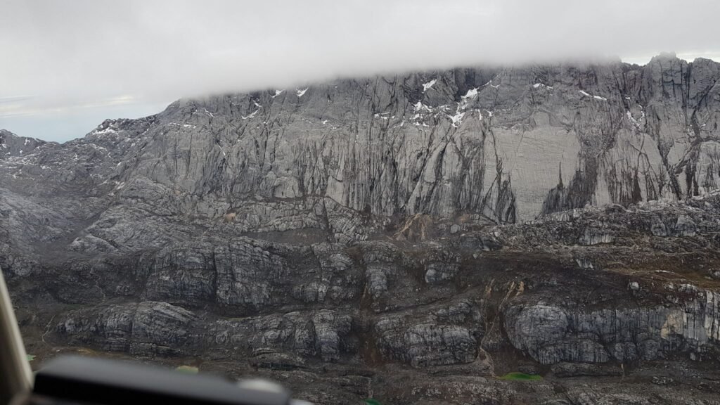
At the heart of the range lies Puncak Jaya, the highest point in Oceania, surrounded by satellite peaks and sharp ridgelines that create a natural barrier between Papua’s northern and southern lowlands. The mountains act as a climatic divide, forcing moist air upward and generating heavy rainfall on one side while creating drier rain-shadow valleys on the other. This variation in elevation and climate explains why dense tropical forests, alpine grasslands, glaciers, and barren rock faces can all exist within relatively short distances.
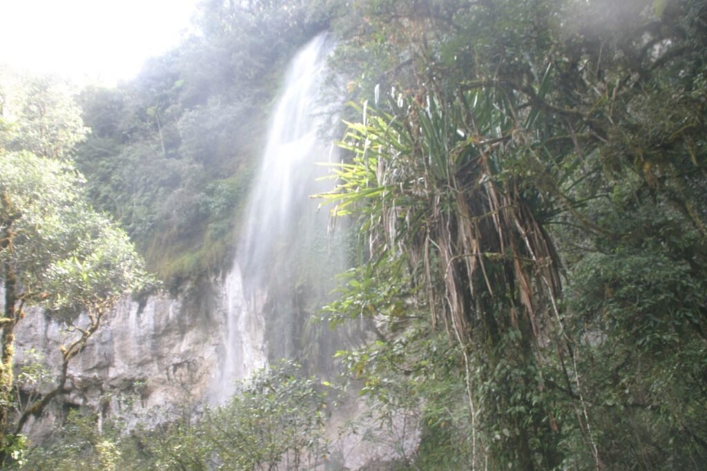
The Jayawijaya Mountains are also the source region for many of Papua’s major rivers. Meltwater, rainfall, and underground karst drainage systems feed waterways that eventually flow toward the Arafura Sea in the south and the Pacific Ocean in the north. From above, maps reveal a maze of watersheds and valleys that highlight how crucial this range is to the island’s hydrology and ecological balance.
Human settlements are scattered throughout the lower valleys and intermontane basins, connected by footpaths, small airstrips, and rivers rather than roads. For explorers, scientists, and mountaineers, the Jayawijaya Mountains are best understood not as a single destination, but as a vast highland system where geography, climate, and geology intersect. Any journey to Carstensz is ultimately part of a much larger landscape defined by this extraordinary mountain range.
