Unwritten Knowledge: How Papuan Communities Navigate the Mountain Landscape
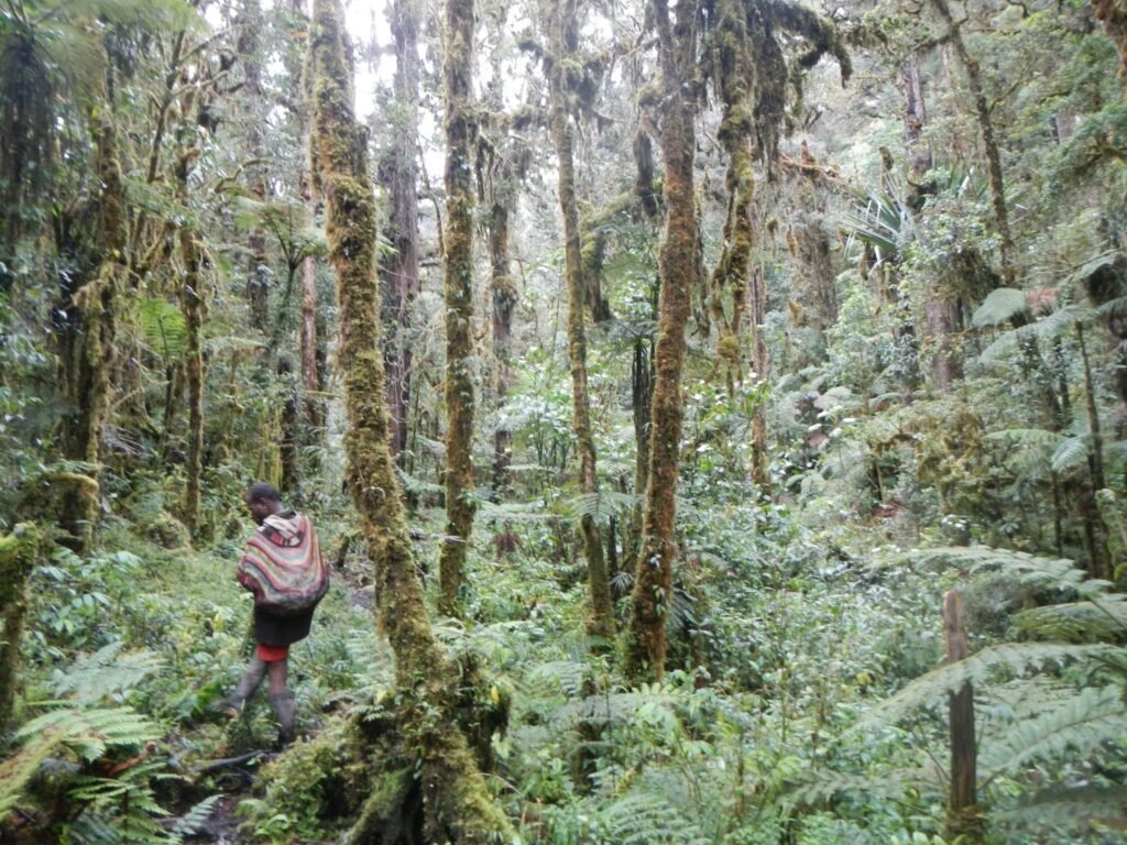
For generations, indigenous communities in Papua have navigated dense forests, steep ridges, and remote mountain valleys without maps, compasses, or digital devices. Their knowledge of the land is unwritten, passed down orally through daily life, storytelling, and direct experience with nature. This traditional navigation system reflects a deep relationship between people and their environment.
Papuan communities read natural signs with remarkable precision. The position of the sun, the direction of wind, river flow patterns, and the behavior of animals all serve as natural guides. Certain trees, rock formations, and mountain silhouettes function as landmarks, helping people determine direction and distance. Trails are not always visible paths but are understood through memory and repeated movement across the landscape.
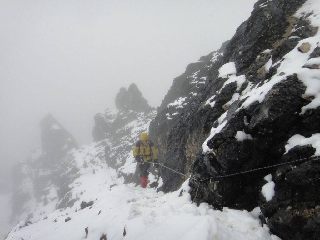
This local knowledge is closely tied to survival. Knowing where water sources appear during dry seasons, which areas are prone to landslides, or when weather conditions are likely to change is essential in mountainous Papua. Such understanding allows communities to travel safely, hunt sustainably, and avoid dangerous terrain long before modern navigation tools existed.
For mountaineers and expedition teams, this unwritten knowledge offers valuable lessons. It emphasizes awareness, patience, and respect for the natural environment. Papua Mountaineering Association recognizes that responsible mountaineering should learn from, not replace, indigenous navigation practices. Integrating local wisdom into modern expeditions strengthens safety while honoring the people who have lived in harmony with these mountains for centuries.
In Papua, navigation is more than finding a route. It is a cultural practice, a survival skill, and a reminder that the land itself is the greatest guide.
